
Read in our apps:
iOS
·Android
Vivien Lougheed
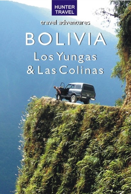
Bolivia – Los Yungas & Las Colinas
Notify me when the book’s added
Impression
Add to shelf
Already read
Report an error in the book
Share
Facebook
Twitter
Copy link
To read this book, upload an EPUB or FB2 file to Bookmate. How do I upload a book?
- About
- Readers26
- On the bookshelves
- Related books
Los Yungas is primarily steep jungle-covered mountains that eventually meet with tropical lowlands. The upper transitional forests are often called the eyebrow of the jungle in Bolivia. As you drop, the vegetation becomes thick and large ferns are replaced with mosses, bromeliads and orchids. Throughout the Yungas, at all times of the year, birds and interesting insects are abundant. Sorrata tucked into the hills of the Andes, is only four hours from La Paz by jeep and is one of the most popular destinations for the hiking and climbing crowd. They call it the Banff of Bolivia. The trails near town go to the impressive mountains of Illampu and Jacuma dotted with alpine lakes and hanging glaciers. Available accommodations are comfortable, the guiding services are excellent and the food is good, especially if you are into pizza. Coroico is tucked into a hill in the rainforest that is lush with vegetation and teeming with birds at all times of year. Chulumani is in the South Yungas, off the main highway that runs between La Paz and Coroico. Shortly after Unduavi a side road turns south and then plunges down the mountains toward this village. Although perched on the side of a steep hill, surrounded by lush jungle and thick with wildlife, Chulumani is not often frequented by foreigners except birders, who flock there. Regardless of how or why you arrive, be certain to watch for the Bridal Veil Waterfalls on the way to Chulumani. In Las Colinas, Sucre is a town that sparkles like a diamond in the dry brown mountains surrounding it. There are many cycle and horse trips that can be enjoyed in the area, plus an exciting bus/truck/hike into the ancient crater of a long-blown volcano. People come to check out the famous dino tracks right on the edge of town. Tarija has many plazas that are clean and vegetated due to the almost tropical climate. People of Tarija are known for their songs and dances accompanied by the many varieties of drums. The Inca Trail in the Cordillera Sama Biological Reserve was used long before the Inca arrived, but it has not been studied and its age is not known. It can be walked in eight hours, but this leaves little time for exploration. While walking you will see archeological remains such as drainage troughs, platforms, an old bridge and structural walls made from huge slabs of rock. Rock paintings can be seen in six different locations and to find them you will need a guide. They are well preserved and depict llamas and birds. The trail starts at Tajzara, where you can enjoy the wildlife that lives near the Great Lake before taking a step along the trail. The lake is surrounded by sand dunes that are spectacular. Cochabamba, the Garden of Bolivia, boasts the world's most comfortable climate; warm dry days with clear blue skies and cool nights. The elevation is low compared to the Altiplano, so the wind doesn't bite. But it is high compared to the Chaco and Amazon, so the breeze is fresh. Cochabamba's proximity (three hours by bus) to Torotoro National Park makes the town one of the best bases for muscle-powered adventures. This is not generally known, so you will not be crowded off a river or hiking trail. Cochabamba is also within three hours by bus or three days by foot from Villa Tunari, where an animal refuge and park are located. There is a lake in the center of town where birders can add new species to their lists. And there are the caves of San Rafael to explore and Cerro Tunari, the highest peak in the district, to climb. Vivien Lougheed shares her passion for Bolivia, telling you about the history, geography, landscape, hidden treasures and top highlights. Comprehensive background information — history, culture, geography and climate — gives you a solid knowledge of each destination and its people. Regional chapters take you on an introductory tour, with stops at museums, historic sites and local attractions. Places to stay and eat; transportation to, from and around your destination; practical concerns; tourism contacts — it's all here! Detailed regional and town maps feature walking and driving tours. Then come the adventures — fishing, canoeing, hiking, rafting, llama trips and more. Never galloped along a beach on horseback, trekked up a mountain, explored ancient sites? "e;Adventure Guides"e; include extensive lists of recommended outfitters, with all contact details — e-mail, website, phone number and location.
This book is currently unavailable
394 printed pages
- Publication year
- 2013

Have you already read it? How did you like it?
👍👎
On the bookshelves

fb2epub
Drag & drop your files
(not more than 5 at once)